Review a spatial SQL query with AI
Check the units, geographic relationship and join behaviour in an existing query. Get revised SQL and a small control case for the database you actually use.
To review a spatial SQL query with AI, start by describing what one output row should represent. Suppose an analyst wants the number of stops in each service zone. A stop on a shared boundary can match two zones or neither, depending on the predicate. The right query depends on what the count is meant to show.
The spatial-sql skill works with a database engine that has already been chosen. It examines coordinate systems, units and join conditions before suggesting changes. A small control set is part of the review when the engine is available, so you can distinguish an observed result from an untested suggestion.
What it does
- Check the units behind a distance threshold before applying it to geographic coordinates.
- Decide how a point shared by neighbouring polygons should count.
- Distinguish assigning a coordinate-system label from actually transforming the coordinates.
- Read the execution plan to see whether a spatial index helps this query.
- Try inside, outside and boundary samples before accepting a faster version.
Install and use
- Install the skill and provide the database engine, version, query and schema. Running a control requires authorised database access.
- Ask, “Why does this stop match twice? Review the boundary rule and show a small test on this engine.”
- Compare the result with the expected cases and keep unexecuted suggestions clearly marked.
FAQ
Source
Made by Jaak Laineste. Original skill: spatial-sql, published on GitHub under the MIT licence.
View on GitHubRelated products
- SkillNew
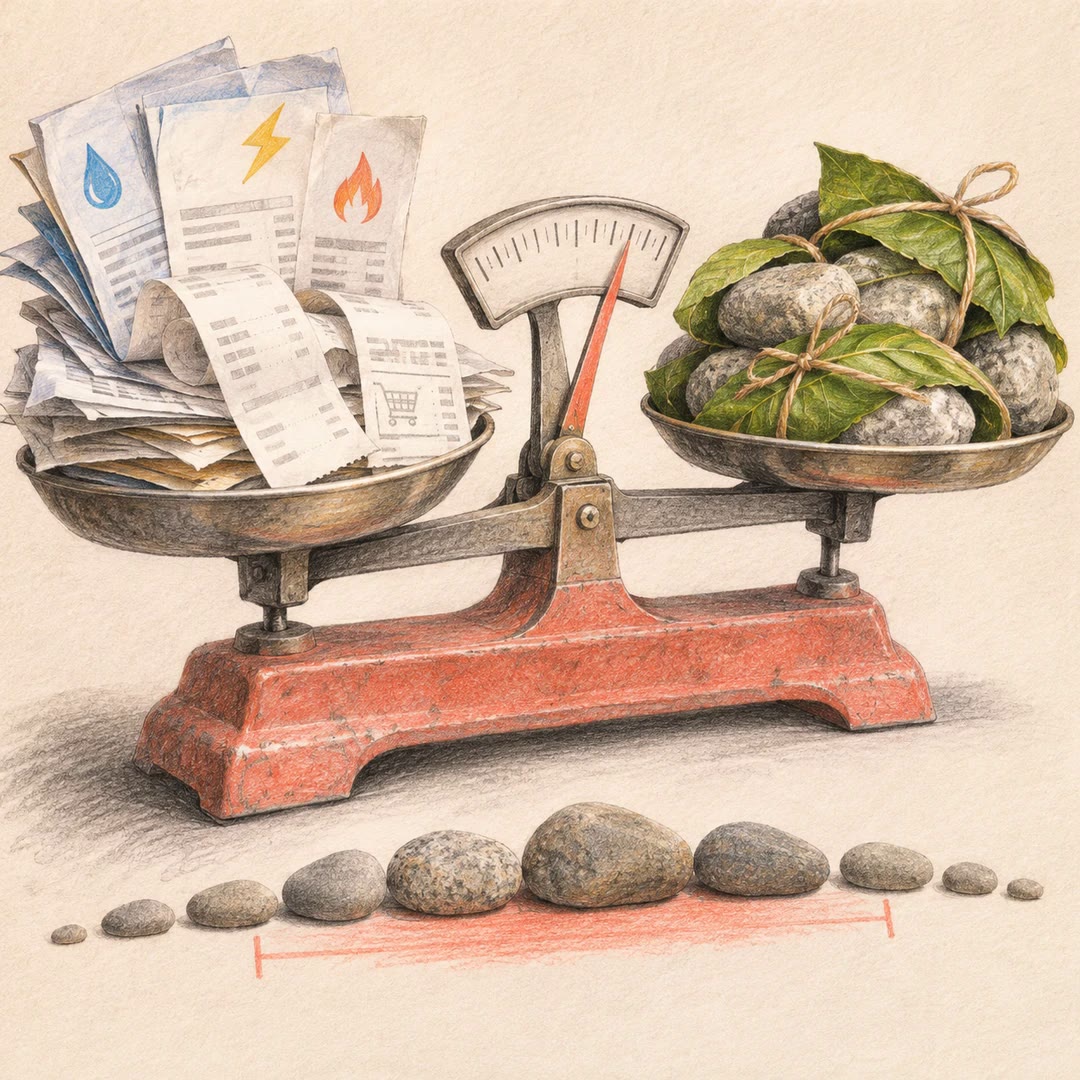
Estimate your carbon footprint with AI
Use your own bills and receipts to build an emissions range, retain the source behind each figure and compare changes without hiding uncertainty.
Free - SkillNew
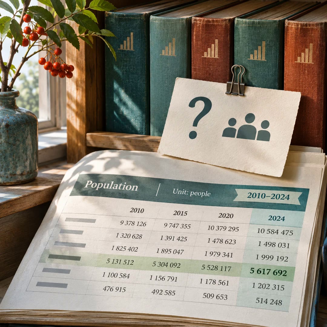
Find official statistics with AI
Ask a specific question of a PxWebApi v2 statistics service. Get the figures with the table, units and time period needed to quote them accurately.
Free - SkillNew
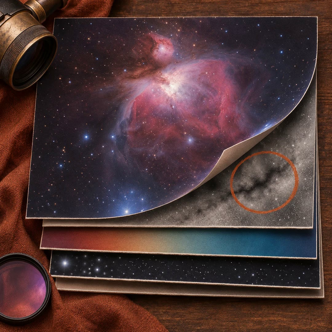
Review astrophotography data with AI
Work out which stage to revisit when a stack has dust shadows, uneven colour or stars that look different across the frame.
Free