Analyse raster data in QGIS with AI
Inspect a raster band, check for missing cells and choose a calculation that answers your question. Work with local elevation data and compare the result to the input.
Analyse raster data in QGIS with AI when a striking patch of colour might be a terrain feature or simply a missing value. The qgis-impl-raster-analysis skill starts with the actual band, extent and data provider. For an elevation grid, that helps you tell a low-lying area from cells that were never measured.
Different questions call for different outputs. A hillshade can reveal the shape of a slope, while a slope calculation estimates its steepness. A raster expression can transform numerical values if its band references match the entries you supplied. The guide also covers local output files and checking missing data before interpretation.
What it does
- Inspect the range of values in one raster band.
- Check a cell for NoData before treating it as zero.
- Calculate a new raster from a specified band expression.
- Choose a hillshade or slope output for an elevation dataset.
- Compare a derived file with known points in the source raster.
Install and use
- Install the skill and use QGIS 3.44 or later with PyQGIS. Some operations require the GDAL processing tools.
- Ask, “Check this park elevation grid for missing data, then suggest a way to see the shape of the ground.”
- Save the derived raster separately and inspect a few known locations in both layers.
FAQ
Source
Made by OpenAEC Foundation (Impertio-Studio). Original skill: qgis-impl-raster-analysis, published on GitHub under the MIT licence.
View on GitHubRelated products
- SkillNew
Estimate your carbon footprint with AI
Use your own bills and receipts to build an emissions range, retain the source behind each figure and compare changes without hiding uncertainty.
Free - SkillNew
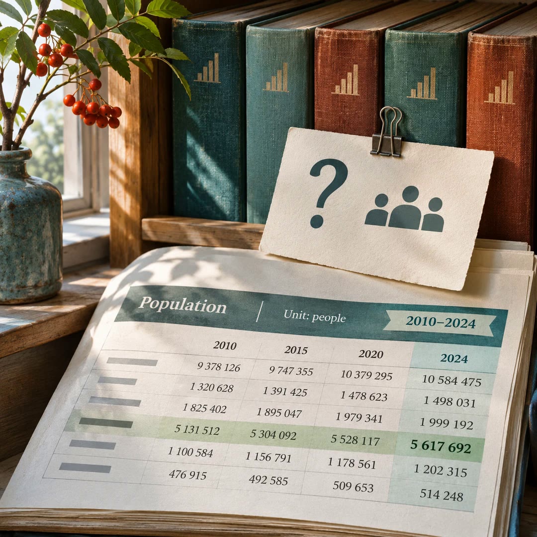
Find official statistics with AI
Ask a specific question of a PxWebApi v2 statistics service. Get the figures with the table, units and time period needed to quote them accurately.
Free - SkillNew
Review astrophotography data with AI
Work out which stage to revisit when a stack has dust shadows, uneven colour or stars that look different across the frame.
Free