Diagnose a misplaced QGIS layer with AI
Find out whether a shifted layer has the wrong CRS label, reversed axes or a transformation problem. Check a known point before rewriting the data.
To diagnose a misplaced QGIS layer with AI, start with a feature whose location you can verify. The qgis-errors-projections skill helps distinguish a missing or incorrect coordinate reference system from values that were actually recorded in another system. Relabelling and transforming a layer have different consequences.
A coordinate range can suggest a possible cause, but it rarely tells you which of several projected systems was used. Compare the source metadata and a point with a known location. A small, consistent offset may call for a closer look at the datum transformation rather than another change of axis order.
What it does
- Check the recorded CRS and extent of the problem layer.
- Distinguish reversed longitude and latitude from a projection error.
- Compare a source coordinate with an independently known point.
- Investigate a consistent offset between otherwise aligned layers.
- Decide whether to correct metadata or create a reprojected copy.
Install and use
- Install the skill and use QGIS 3.44 or later with its PyQGIS environment for the examples.
- Ask, “My park boundary aligns but the entrance points do not. Which checks should I run before changing any data?”
- Try the proposed diagnosis on a known location and compare any transformed output with the original.
FAQ
Source
Made by OpenAEC Foundation (Impertio-Studio). Original skill: qgis-errors-projections, published on GitHub under the MIT licence.
View on GitHubRelated products
- SkillNew
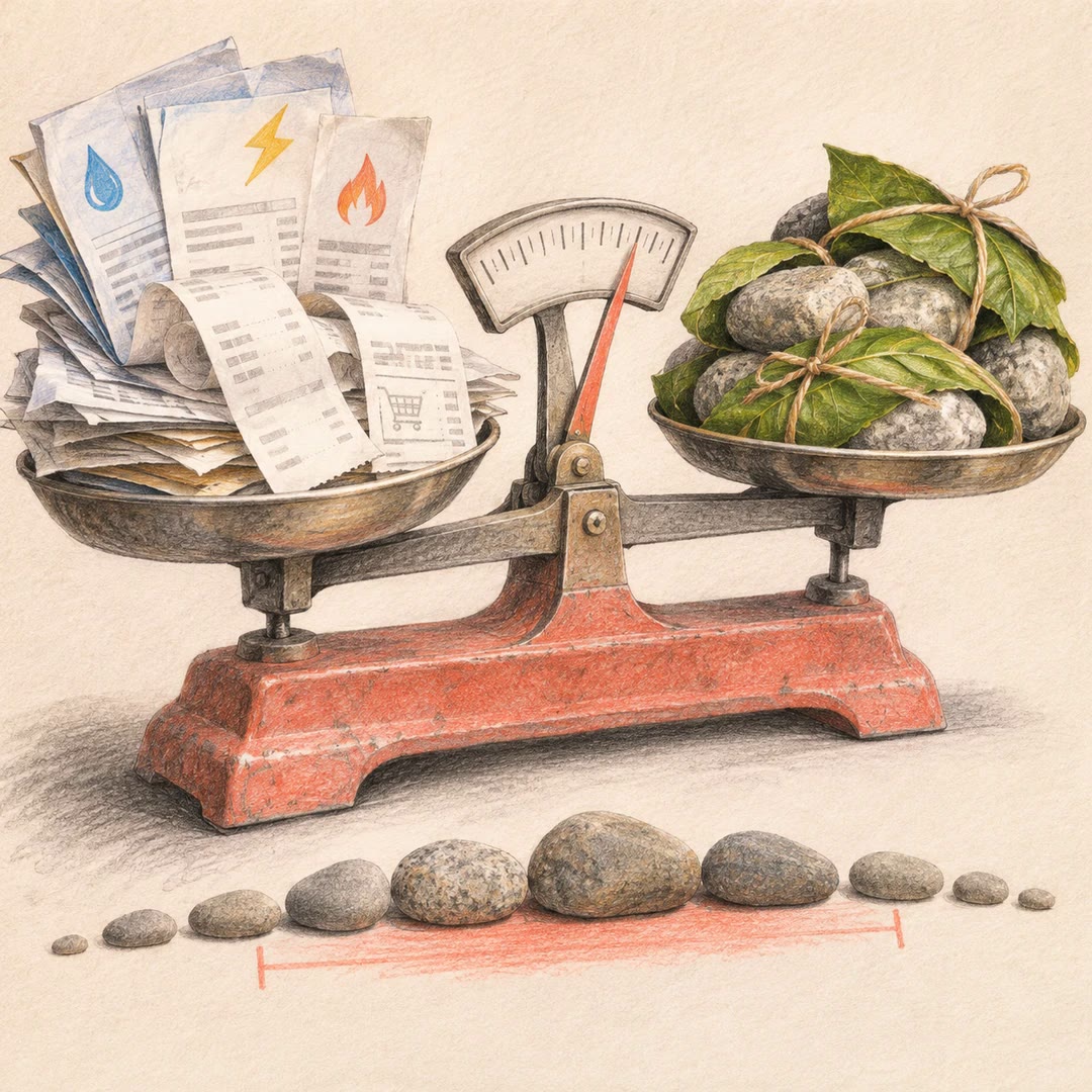
Estimate your carbon footprint with AI
Use your own bills and receipts to build an emissions range, retain the source behind each figure and compare changes without hiding uncertainty.
Free - SkillNew
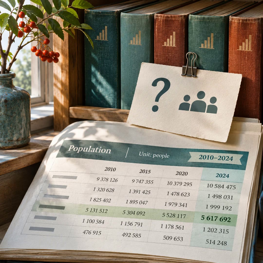
Find official statistics with AI
Ask a specific question of a PxWebApi v2 statistics service. Get the figures with the table, units and time period needed to quote them accurately.
Free - SkillNew
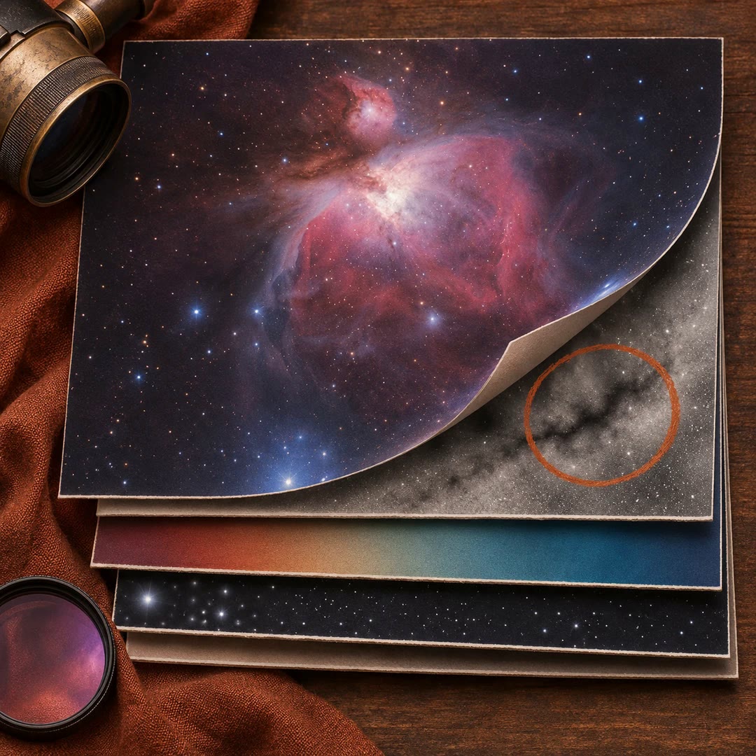
Review astrophotography data with AI
Work out which stage to revisit when a stack has dust shadows, uneven colour or stars that look different across the frame.
Free